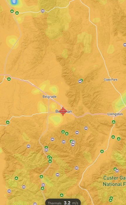
Thermals
Updraft velocity for every hour of the day, so you can watch the window open and close before you commit to the drive.
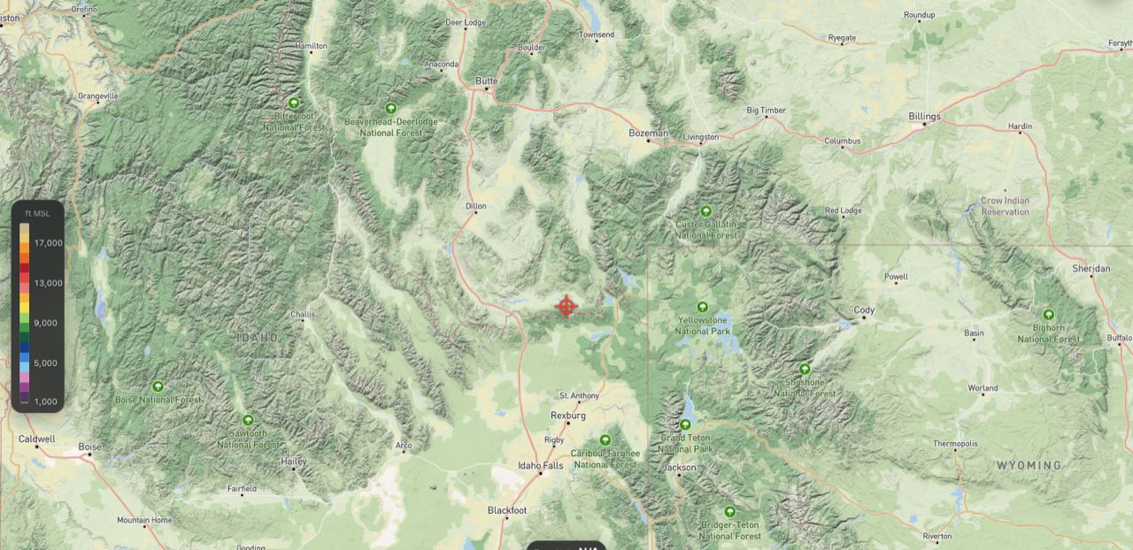
Thermals, top of lift, cloud base and overdevelopment from HRRR, drawn on the map that holds your flying sites, airspace and flight tracks.
Plan your flight, scope weather conditions and review your flight when you get home.
Updraft velocity for every hour of the day, so you can watch the window open and close before you commit to the drive.
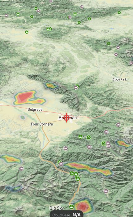
Base and top of usable lift in feet MSL, drawn on the terrain instead of read off a table.
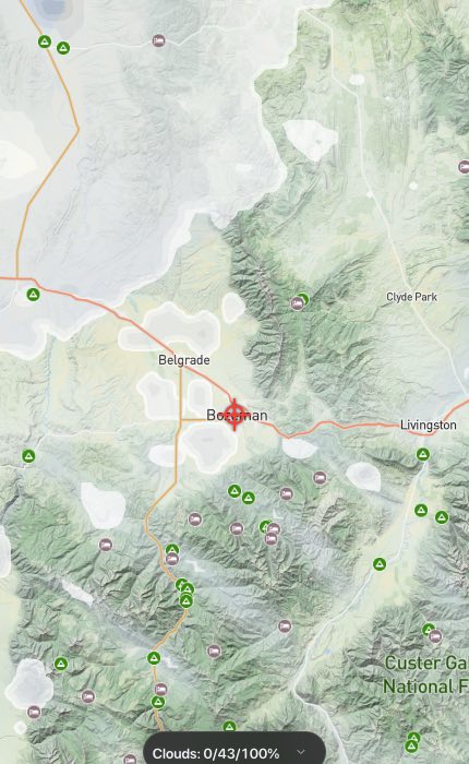
Cloud decks, cu depth and OD potential by the hour, so you know when the sky is going to shut the day down.
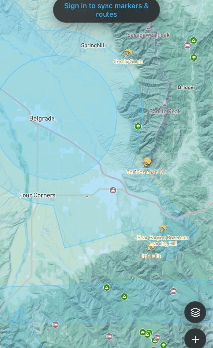
Controlled and special-use airspace on the same map you plan from, not a second app you forget to open.
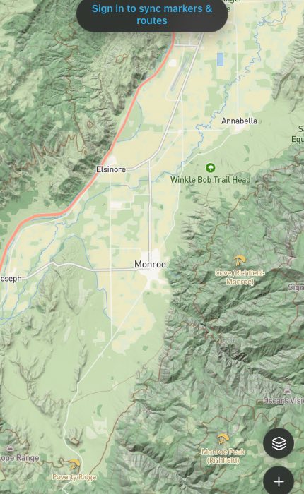
Launches and landing zones across the Mountain West, with the forecast at each one a tap away.
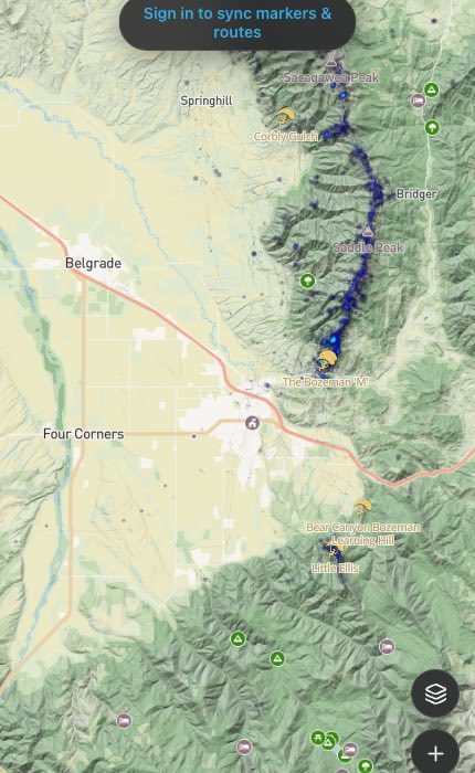
Where pilots actually fly: skyways and thermal hotspots built from real tracks, laid over your route.
The map is free. The forecast is Pro. Try it for a month before you pay a cent.
The map, the sites and the airspace. No account limits, no ads.
Every forecast layer and offline maps. Cancel any time from the App Store.